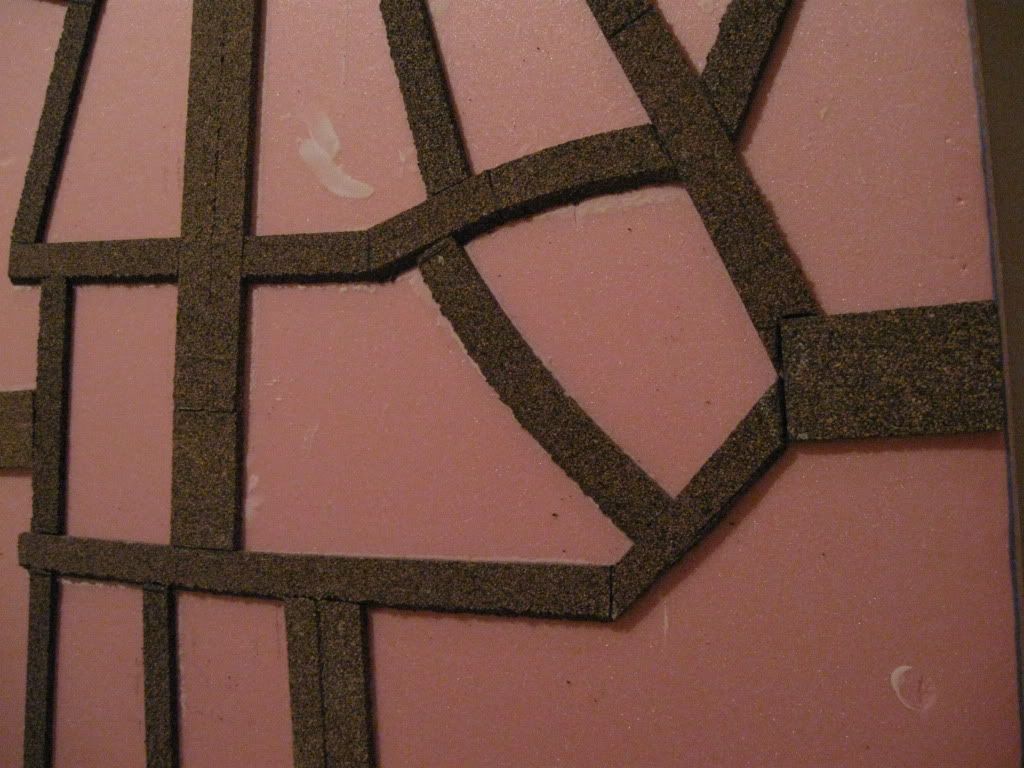
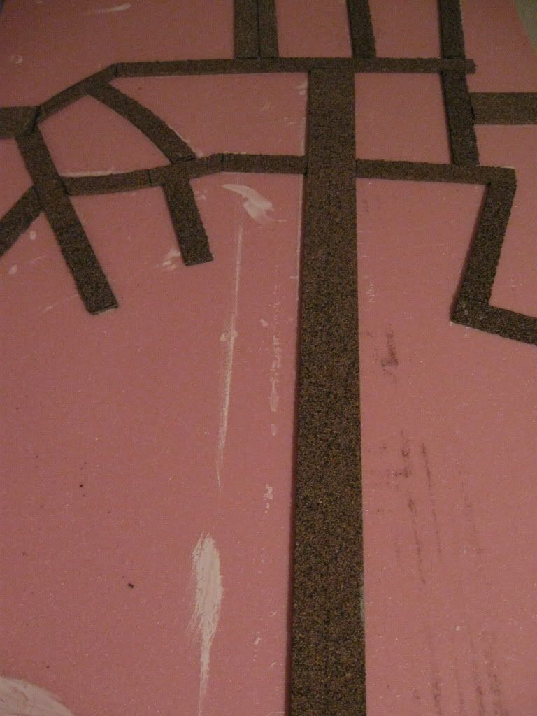
Step 5 was to lay in the roads. For the roadways, I used railroad cork roadbed, some in HO scale, and some in N scale (or split HO pieces) for smaller roads. After sketching a plan for each board based on the actual Defence Overprint map, I cut the pieces with a hobby knife and glued them down with PVA straight onto the foam. There were two problem situations. When the road approached a connecting point at an angle, the road needed its edges shaved to get it down to the same width as the connecting piece. And where I wanted a curve, I had to pin one end with thumbtacks and force the curve with a series of tacks along its length, then leave the tacks in place until the glue dried.
Cutting and fitting the smaller streets in the urban areas was probably the most time-consuming part of the whole project, since I needed dozens of small pieces in some areas. On the other hand, I find setting up a road network on a regular wargames table to be time-consuming and not very satisfying unless there are lots of random connectors available - otherwise it ends up as a simple grid. Eventually this gave me a complex network of roads modelled on the underlying maps, with some adjustment for scale and some distortion to move the real roads into alignment with my board concept - but overall a good fit with the actual roads of Normandy.
My favourite moment in the whole project came much later when Howie from our group recognized the road network in Courseulles because he's just returned from there and had driven on some of the roads I was modelling.
No comments:
Post a Comment